


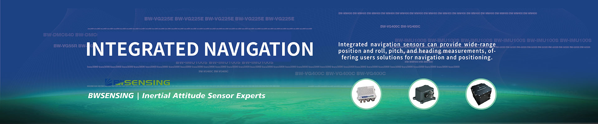
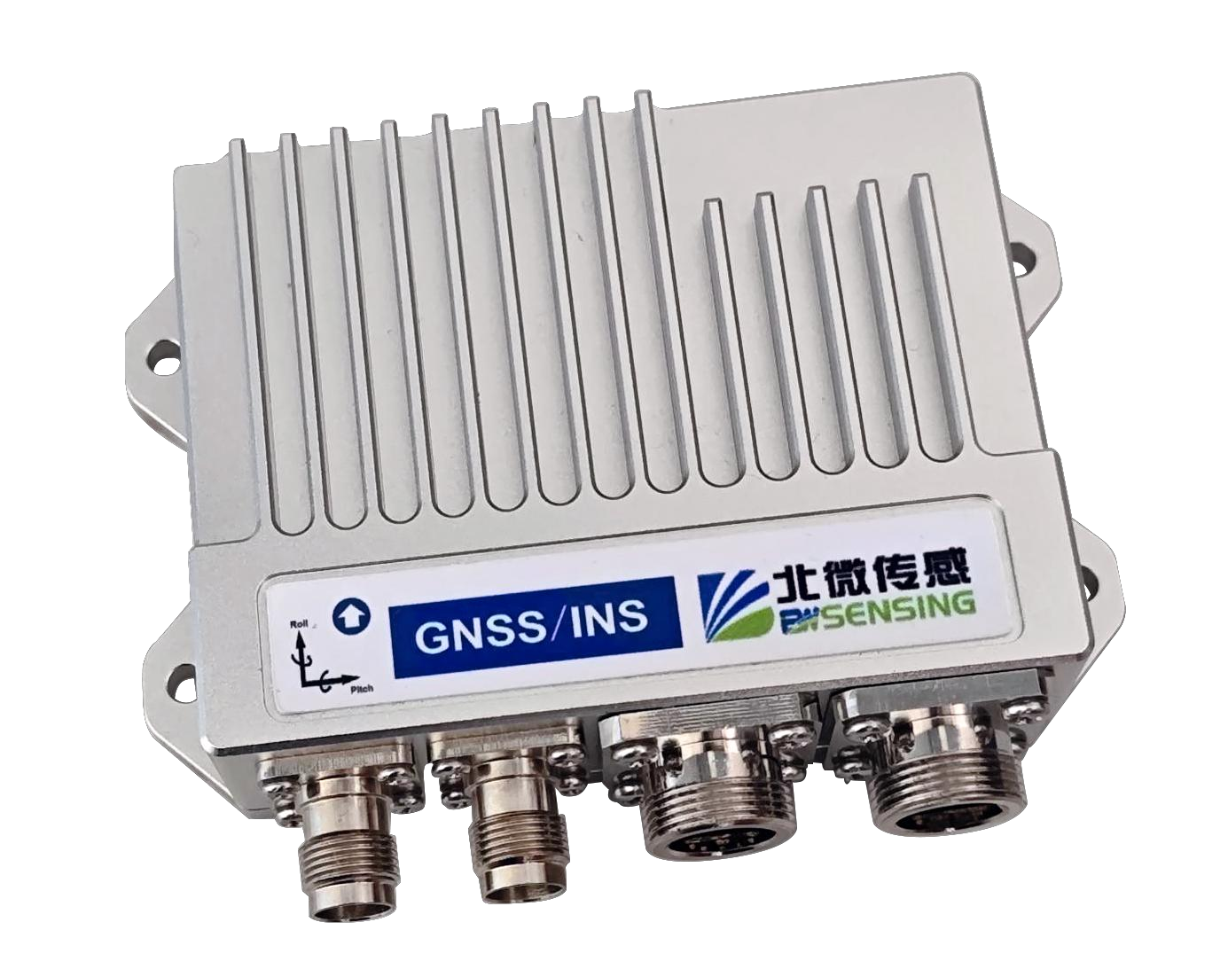
·GNSS/INS high-precision integrated navigation system,
·Supporting CAN FD communication protocol
·High cost-effective GNSS/INS integrated navigation system, full-system, full-frequency RTK solution
·Support raw data output and post-processing
Shared:


Satellite signal | BDS GPS Galileo GLONASS QZSS | B1I/B2I/B3I L1C/A/L2P(Y)/L2C/L5 E1/E5a/E5b G1/G2 L1/L2/L5 | |||
| plane elevation | 1.5m 2.5m | |||
DGPS | plane elevation | 0.4m 0.8m | |||
RTK | plane elevation | 0.8cm+1ppm 1.5cm+1ppm | |||
First location time | cold start Warm start | <30s <15s | |||
maximum data rate | GNSS raw observations GNSS RTK positioning INS integrated navigation solution IMU raw data rate Positioning information output | 20Hz 20Hz 200Hz 200Hz 200Hz | |||
directional accuracy | 1m baseline 2m baseline | 0.2° 0.1° | |||
Timing accuracy (RMS) Speed measurement accuracy (RMS) Speed limit (RMS) | 20ns 0.03m/s 300m/s | ||||
Observation accuracy (RMS) | BDS | GPS | GLONASS | Galileo | |
B1I/B1C/L1C/A/E1/G1 pseudo-range | 10cm | 10cm | 10cm | 10cm | |
B1I/B1C/L1 C/A/E1/G1 carrier phase | 1mm | 1mm | 1mm | 1mm | |
B2I/G2/L2P(Y)/L2C/E5b pseudo-range | 10cm | 10cm | 10cm | 10cm | |
B2I/B2a/B2b/L5/E5a/E5b carrier phase | 1mm | 1mm | 1mm | 1mm | |
B3I/L5/E5a/B2a pseudo-range | 10cm | 10cm | 10cm | 10cm | |
B3I/L5/E5a/B2a carrier phase | 1mm | 1mm | 1mm | 1mm | |
Roll/pitch/heading angle measurement range | Roll ±180°, pitch ±90°, heading angle 0~360° | ||||
Heading accuracy (with GNSS signal) | 0.05° static, 0.1° dynamic (RMS) | ||||
Roll/pitch accuracy (with GNSS signal) | 0.03° static, 0.1° dynamic (RMS) | ||||
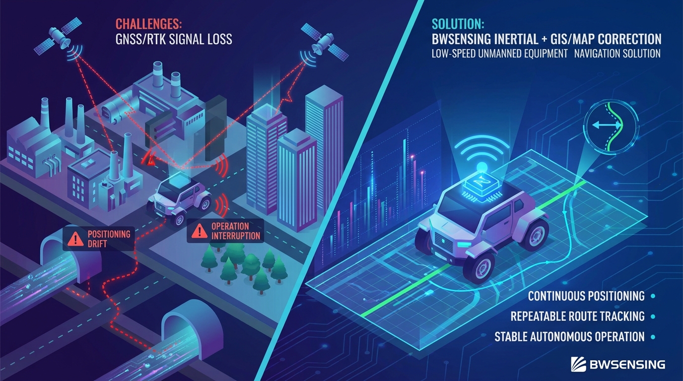
GPS loss of lock accuracy (Vehicle-mounted CEP) | Position drift (1km or 2 min) | <0.2%, with odometer combination | |||
Heading drift (1 min) | <0.15° | ||||

-
STAY CONNECTED


-
8:00am-7:00 pm Service Online
WhatsApp/Tel:+86 15050 672 146
+86 17606 118 008
Commercial:sales@bwsensing.com
Customer Service:support@bwsensing.com

Copyright © 2010-2023 Wuxi BEWIS Sensing Technology LLC 苏ICP备14001101号-6 Privacy Policy Cookies

 +86 189 2129 2620
+86 176 0611 8008 sales@bwsensing.com