


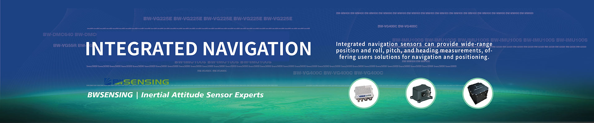
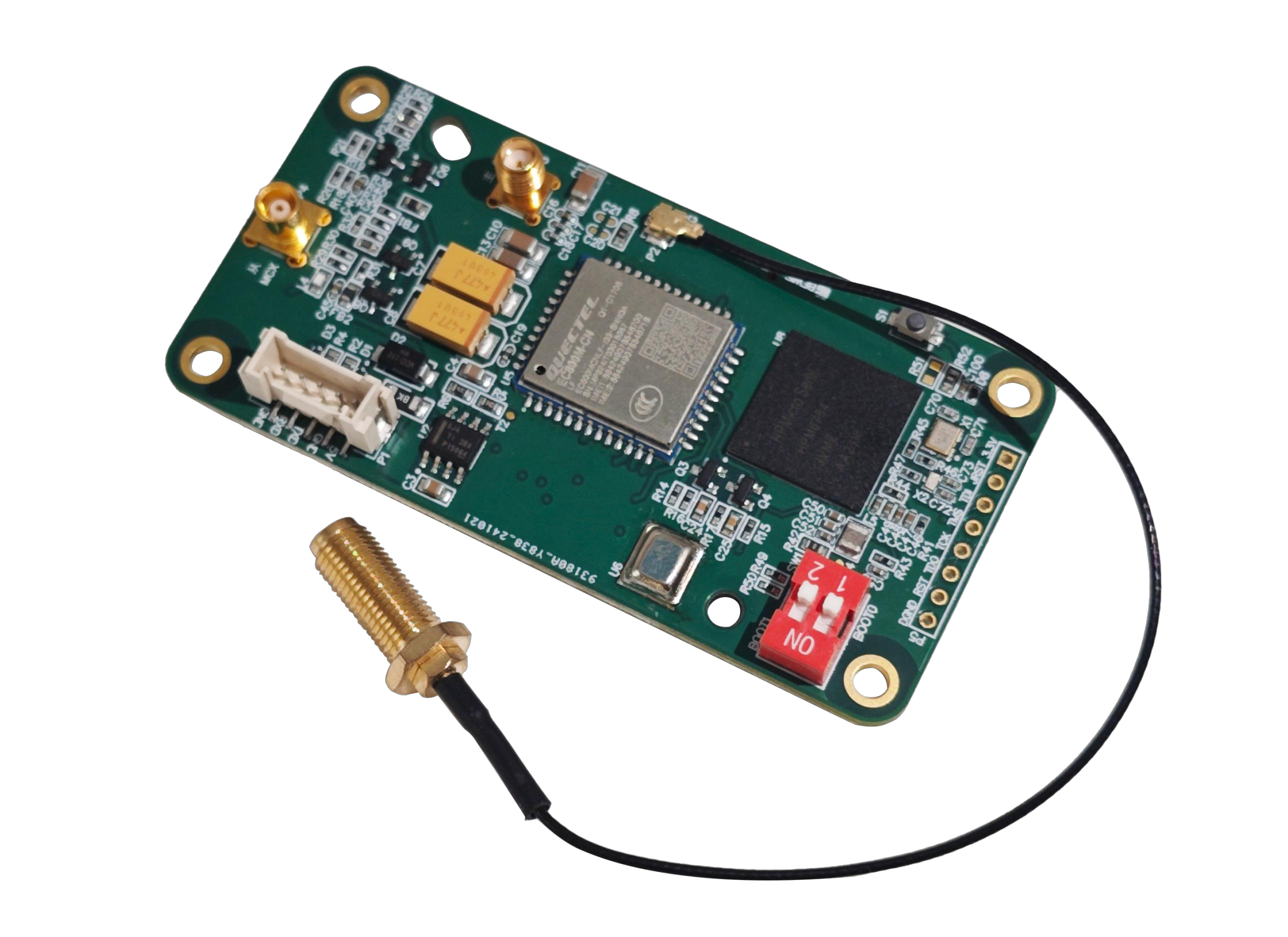
GINS100
High-precision Fiber Optic Integrated Navigation System
Product Introduction:


●High-performance
● Interface support: TTL
● Main board size: L40*W80*H12.6 (mm)
● Power supply voltage: 5V DC
● Operating temperature: -40°C to+70°C
●RTK accuracy: Plane 0.8cm + 1ppm ;
Elevation 1.5cm + 1ppm;
●PPP accuracy:Plane 25cm
Shared:
Technical Specifications
| Electrical Index | ||
| Parameter | Details | |
| Power voltage(V) | 5V DC | |
| Working Current (mA) | 30mA (40mA max) | |
| Operating Temperature (℃) | -40℃~+70℃ | |
| Storage Temperature (℃) | -55℃~+100℃ | |
| Performance Index | ||
| Category | Sub - item/Description | Specification |
| RTK | Plane | 0.8cm + 1ppm |
| Elevation | 1.5cm + 1ppm | |
| ppp | Plane | 25cm |
| Elevation | 25cm | |
| Convergence time | 15 - 25min | |
| First positioning time | cold start | <30s |
| warm start | <15s | |
| Maximum data rate | GNSS raw observations | 20HZ |
| GNSS RTK positioning | 20HZ | |
| GNSS/INS solving | 200HZ | |
| IMU raw data rate | 200HZ | |
| Positioning information output | 1HZ | |
| Orientation accuracy | 1σ | ±0.5° |
| 0.6m baseline | ||
| 2σ | ±1° |
PRODUCT SIZE

-
STAY CONNECTED


-
8:00am-7:00 pm Service Online
WhatsApp/Tel:+86 15050 672 146
+86 17606 118 008
Commercial:sales@bwsensing.com
Customer Service:support@bwsensing.com

Copyright © 2010-2023 Wuxi BEWIS Sensing Technology LLC 苏ICP备14001101号-6 Privacy Policy Cookies

 +86 189 2129 2620
+86 176 0611 8008 sales@bwsensing.com