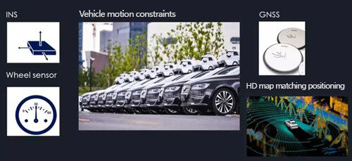
In the process of automatic driving, positioning or navigation is responsible for providing real-time movement information of the carrier, including the carrier's position, speed, attitude, acceleration, angular velocity and other information.
Autonomous driving has the following requirements for the positioning system:
High precision: reach the centimeter level.
2. High availability: To maintain its stability, automated driving tests have shifted from closed scenarios to more open scenarios, which requires our positioning system to handle more and more complex situations.
3. High reliability: The output of the entire positioning is the input of perception, planning and control. If the positioning system has a deviation, it will cause very serious consequences.
4. Autonomous integrity detection: Because the reliability of our system can only be very close to 100%, but it is difficult to reach the true 100%, this requires us to promptly warn users when there is no way to provide accurate output. Measures to avoid accidents.

At present, the inertial measurement unit IMU commonly used in automatic driving can be divided into two categories according to the accuracy: one is the IMU based on the fiber optic gyroscope FOG, which is characterized by high accuracy, but at the same time, it is also high in cost. It is generally used in map collection with high accuracy requirements. vehicle. The second is the IMU based on MEMS devices. It is characterized by small size, low cost, and strong environmental adaptability. The disadvantage is that it has large errors. If it is applied to an autonomous driving test vehicle, it needs to undergo more complicated processing.
The inertial measurement sensor can measure the attitude parameters of the moving carrier (roll angle, pitch angle, angular velocity, acceleration). Using highly reliable MEMS accelerometers and gyroscopes, the measurement accuracy is ensured through algorithms, and various compensations such as nonlinear compensation, quadrature compensation, temperature compensation and drift compensation are used for inertial attitude measurement under motion or vibration.

In order to obtain the navigation and positioning output from the raw data output by the IMU, a strapdown inertial navigation (SINS) calculation is required, including several modules:
The gyro output angular velocity information is integrated to get the attitude
Use attitude information to convert the output of the accelerometer from the carrier coordinate system to the navigation coordinate system
Gravity calculation, harmful acceleration, earth rotation angular velocity, etc. compensation
Acceleration information integration to get speed and position
Due to the existence of the integration process, the output error accumulates with the working time.
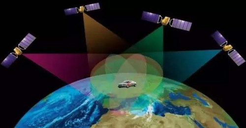
The global satellite positioning and navigation is based on an absolute positioning scheme, and the error will not change with the working time and the movement of the carrier. A significant feature of current global satellite navigation is the transition from a single-frequency single system to a multi-frequency multi-system, such as the Beidou navigation system, which can greatly improve the reliability and usability of our navigation system. Another notable feature is precision positioning, which is widely used in the civilian field, especially RTK technology based on carrier phase dynamic difference is widely used in unmanned aerial vehicles, precision agriculture and other fields.
The current navigation and positioning optimization method is still based on the traditional Kalman filter, and one of its optimization indicators is to minimize the state variance. When establishing the Kalman Filter model, the state variable must be selected. At present, it is still based on the navigation parameter error + the vehicle sensor error as the state estimation. Then the state equation is updated through one-step prediction and measurement to achieve recursion in the time domain.

 +86 189 2129 2620
+86 176 0611 8008 sales@bwsensing.com


