Complete Solution for Geological Disaster Inertial Monitoring

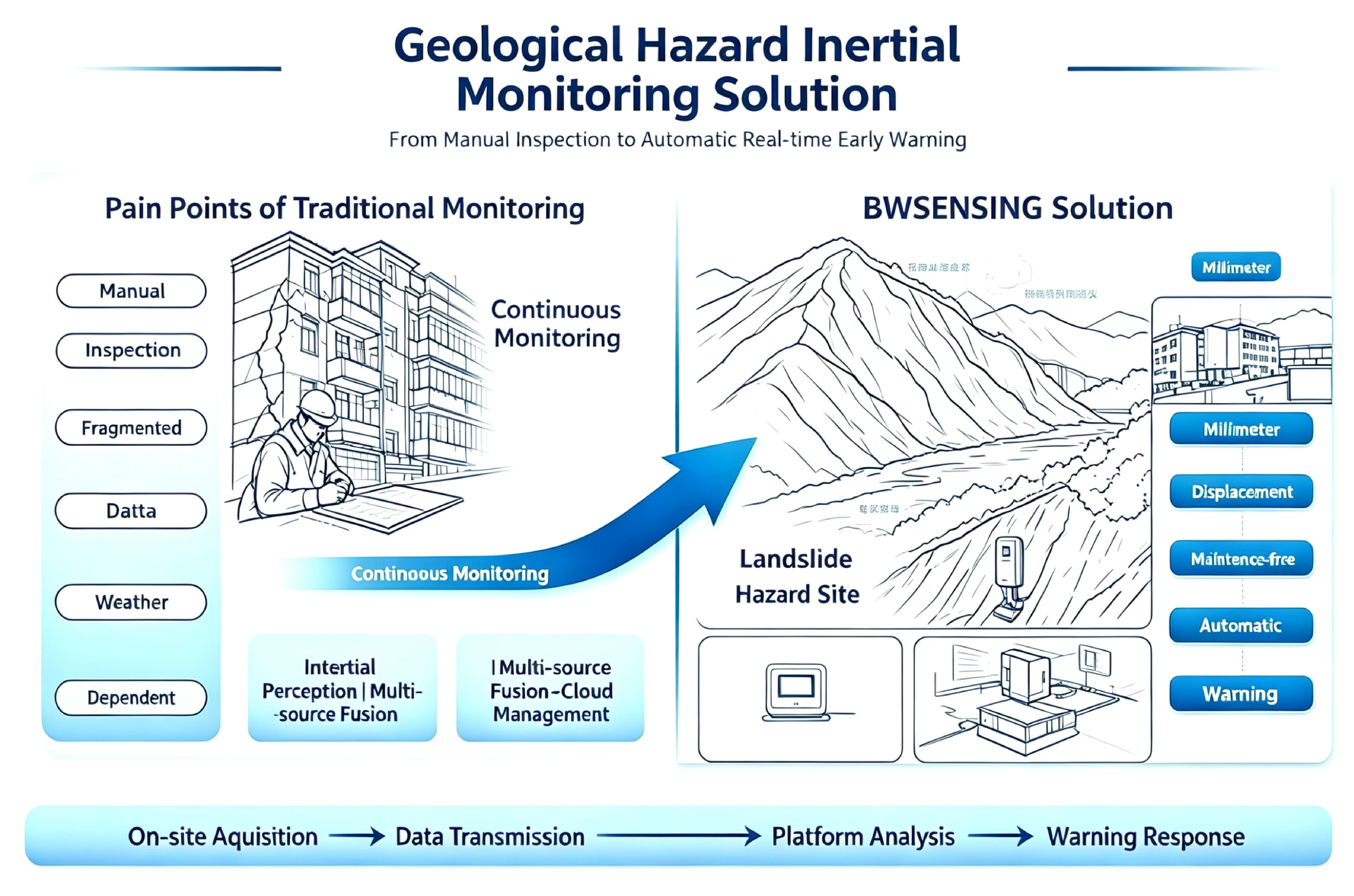
BWSENSING Complete Geological‑Hazard Inertial Monitoring Solution relies on self‑developed MEMS inertial sensing hardware. It covers various hazard sites including village landslides and industrial‑mi

Shared:

Solution Constitution


Complete Solution for Geological Disaster Inertial Monitoring

View Full Technical Solution
12.jpg
Project Background

There are a large number of geological hazard sites nationwide, with prominent risks of landslides, collapses and debris flows. Automated monitoring has become a mandatory construction requirement. Localized, integrated and long‑term field maintenance‑free performance are core evaluation criteria in project tenders.

Policy & Project Requirements

Multiple provinces require full coverage of monitoring terminals for hazard sites during flood seasons. Specifications for Monitoring of Landslide, Collapse and Debris Flow define application requirements for inertial monitoring devices. Traditional manual inspections cannot capture 24‑hour continuous deformation and fail to meet early‑warning timeliness.

Market Selection Trend

Simple single‑point sensors are gradually phased out. Customers prefer BeiDou‑integrated devices with multi‑parameter synchronous acquisition and long‑life all‑in‑one design to reduce rework risks in later‑stage operation & maintenance.

图片1(11).png

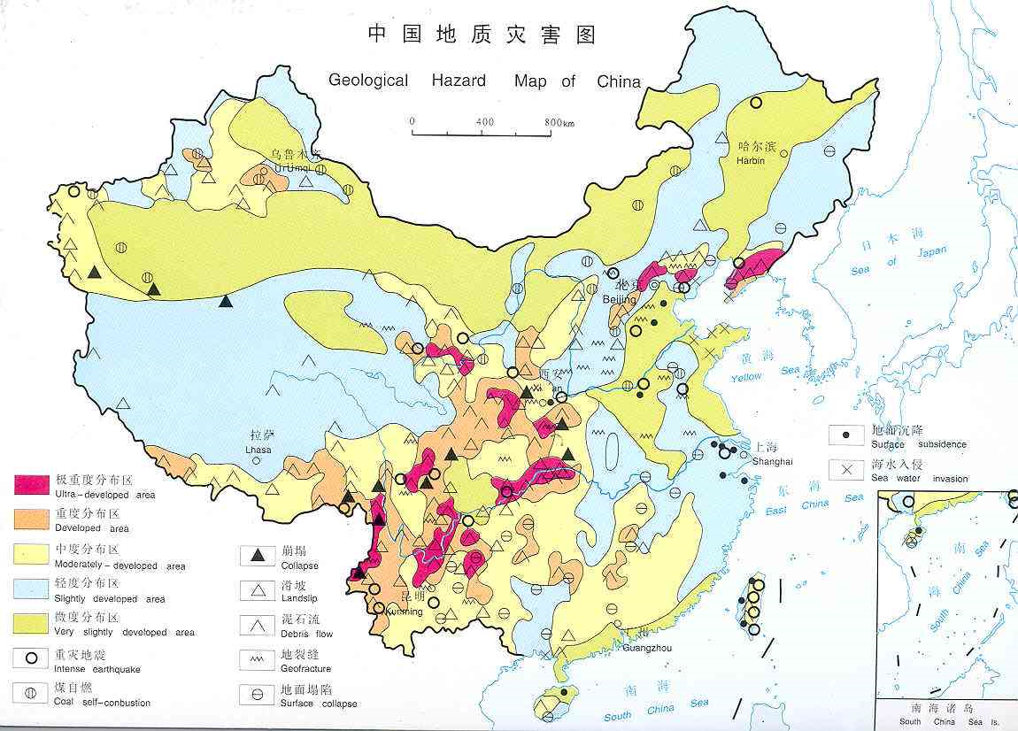
Geological Hazard Risk Zoning Map of China

  Four Common Project Pain Points

Many projects suffer from short battery life, unsynchronized data and incomplete monitoring dimensions, resulting in repeated site visits and acceptance difficulties. BWSENSING hardware addresses these field‑oriented challenges.

01

Pain Point 1: Short Battery Life, Frequent Field Trips for Battery Replacement

Conventional sensors consume high power. Solar power is limited on rainy days. Battery replacement in remote mountains brings high labor costs and heavy O&M burden.

02

Pain Point 2: Complex Wiring & Unsynchronized Sampling Timestamps

Separate deployment for tilt, vibration and azimuth sensors causes data time offset. Landslide precursors cannot be jointly analyzed, reducing early‑warning reliability.

03

Pain Point 3: Tilt‑only Measurement, No True 3D Displacement Data

Only tilt angles are collected, lacking real‑world slope settlement and horizontal slip measurements. Critical indicators for risk grading are missing.

04

Pain Point 4: Surface‑only Monitoring, Missed Deep‑seated Slip Precursors

Landslides usually start with deep‑soil sliding. By the time surface deformation appears, risks are already high. Surface‑only monitoring may miss optimal warning windows.

  Hardware Product Matrix for Geological‑hazard Monitoring

Full‑stack self‑developed MEMS inertial hardware covering surface monitoring, all‑in‑one acquisition, BeiDou mm‑level displacement and deep borehole monitoring, adaptable to diverse site conditions of hazard points.

图片1(14).png

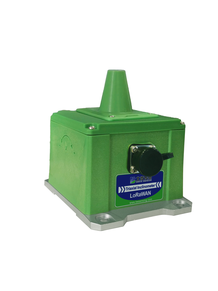
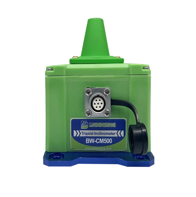
BW‑CM500 Multi‑function Geological‑hazard IMU

Synchronously samples tri‑axial tilt & acceleration. Dual‑link LoRa+4G communication. One device delivers multi‑dimensional deformation perception, simplifying installation and shortening project lead‑time.

图片1(4).png

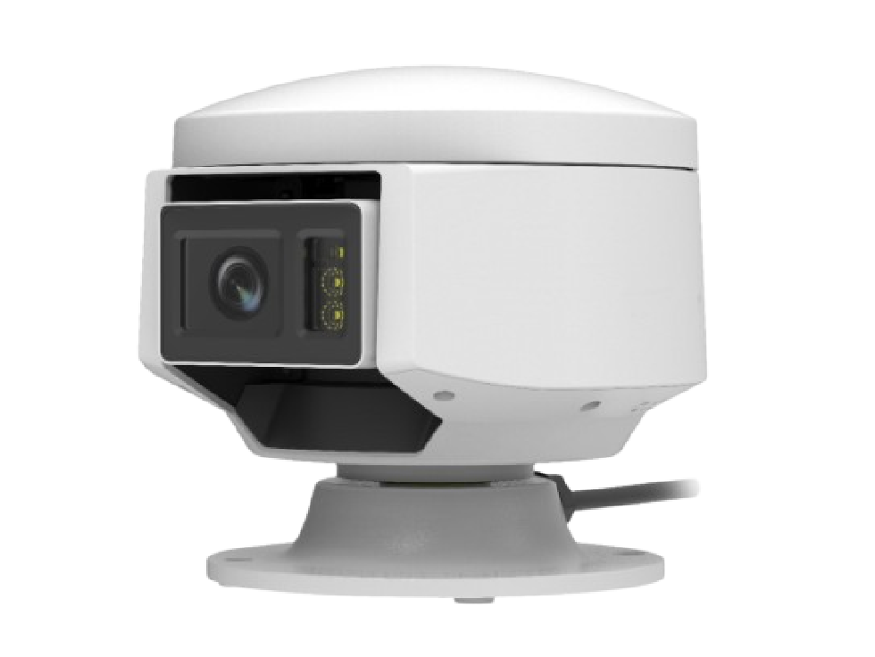
BW‑GNSS‑DS BeiDou GNSS Observation Sphere

Five‑constellation 16‑frequency RTK for mm‑level displacement output. Integrated PTZ camera auto‑captures images upon deformation events for remote site verification and fewer field surveys.

In‑house Core Technology for Project Acceptance Assurance

Core MEMS inertial chips and multi‑source‑fusion algorithms are fully self‑developed. 70+ invention patents, participation in drafting 4 national geological‑hazard standards. OTA remote upgrade supported. Communication protocols adapt to provincial natural‑resources early‑warning platforms to reduce secondary‑development workload.

  Core Advantages of the Solution

Full‑chain in‑house development from chip‑to‑terminal‑to‑protocol, well‑aligned with real‑world requirements of domestic geological‑hazard tenders, site construction and after‑sales O&M.

Fully‑localized Stack to Meet Procurement Requirements

Self‑developed core MEMS inertial chips without overseas‑component dependency, satisfying localization evaluation criteria for government procurement.

3‑Year Field Maintenance‑free Operation to Cut O&M Costs

Dual hardware‑software low‑power design drastically reduces mountain‑site inspection frequency and long‑term O&M expenditure.

Multi‑parameter Integration to Accelerate Construction

Single‑unit multi‑dimensional data output cuts cable‑trenching and device‑point count, speeding up project delivery.

Millimeter‑level Displacement plus Image Review for Risk Assessment

Synchronized displacement data and on‑site images allow engineers to remotely verify hazards without repeated field trips.

National‑standard‑compliant Protocols for Plug‑and‑play Platform Access

Communication protocols comply with natural‑resources universal‑monitoring specifications. Access tests completed for multiple provincial platforms to reduce integration workload.

Industrial‑grade Wide‑temperature Enclosure for Harsh Field Conditions

Stable operation from ‑40 °C to +85 °C. Low measurement drift under heavy rain, freeze‑thaw and electromagnetic interference for reliable long‑term field acquisition.

Reference Deployed Projects

图片7.png

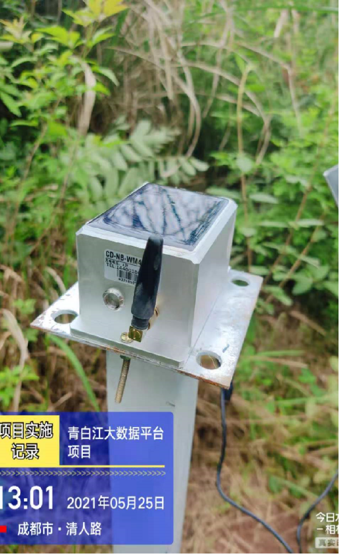
Longquan Mountain Slope‑Landslide Monitoring Project, Qingbaijiang, Chengdu

Project Overview: Qingbaijiang District covers plains, hills and low mountains. The Longquan Mountain area suffers frequent seasonal landslides endangering residents and traffic safety.              
Solution: Deploy wireless tilt sensors plus high‑definition video devices fused with micro‑meteorological data. AI algorithms identify slope deformation risks via Chengdu big‑data platform.              
Customer Value: Greatly reduce manual inspection workload, realize informatized device management, trigger early warnings for landslide hazards and prevent safety accidents.

图片9.jpg

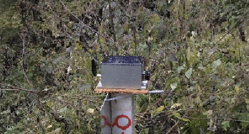
Post‑earthquake Mountain‑landslide Monitoring Project, Ningqiang, Shaanxi

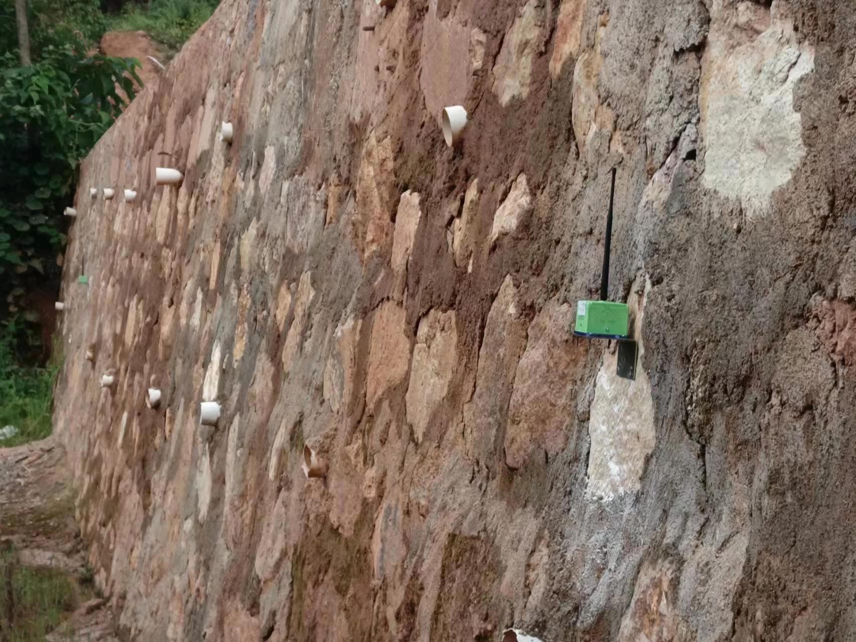
Project Overview: Located in Qinba Mountain area. Earthquake damage caused slope cracking and soil dislocation. Arc‑shaped landslide boundaries indicate long‑term creep‑slide risks with complex geological conditions.              
Solution: Surface‑mounted wireless tilt sensors with cloud‑based unified management for long‑term slope‑deformation data acquisition.              
Customer Value: Cut periodic manual‑inspection costs, continuously capture slope‑stress variation, enable advance landslide forecasting and 24/7 remote hazard monitoring.

图片11.jpg

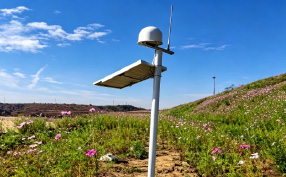
Open‑pit Coal‑mine Slope‑monitoring Project, Liaoyuan Mining

Project Overview: Steep high‑walls of open‑pit mines constitute major hazard sources. Complex hydro‑geology triggers frequent landslides and debris flows requiring round‑the‑clock continuous monitoring.              
Solution: Co‑deploy BeiDou GNSS displacement devices, rain gauges and deep‑array inclinometers with multi‑source‑data analysis and auto‑warning modules.              
Customer Value: Real‑time visibility of overall slope safety status. Auto‑alerts upon displacement thresholds. Quantified visual data supports mine‑site safety operation scheduling.

图片14.png

Substation Slope‑monitoring Project, Liling, Hunan

Project Overview: Liling East Substation is surrounded by mountains and steep slopes. Fill‑soil zones near main transformers feature poor geological stability, posing landslide‑collapse threats to power‑facility safety.              
Solution: Real‑time monitoring via GNSS, wireless tilt sensors and rain gauges together with video surveillance to collect rainfall and slope‑displacement metrics.              
Customer Value: Real‑time safety‑status awareness for substation premises. Auto‑warning upon displacement overruns, delivering simple, intuitive and reliable data for substation‑operation‑management teams.

Request White‑paper, Device List & Project Proposal

Obtain datasheets, site‑deployment drawings, project proposals and quotations. Our technical team provides customized selection recommendations for system integrators and asset owners based on hazard‑site conditions.

Consult Technical Solution
  • STAY CONNECTED
  • 8:00am-7:00 pm Service Online

    WhatsApp/Tel:+86 15050 672 146

    +86 17606 118 008

    Commercial:sales@bwsensing.com

    Customer Service:support@bwsensing.com